Montgomery Field to Hemet
March 3, 2002
2.0 hours
(The route in purple is the route programmed into the GPS. The route in yellow is my actual flight path.)
(The route in purple is the route programmed into the GPS. The route in yellow is my actual flight path.)
Because I had been to Hemet before, because I already had a route to Hemet stored on DUATS, and because the plane became available only a few hours before the flight, I did far less preflight planning than on my last cross country flight. The only things I did were check the weather, print out a flight plan from DUATS, and program a route into my GPS.
I started my journey by preflighting the plane. Once I finished that, I went inside to file my flight plan. The FSS hadn't answered the phone after 3 minutes of ringing, so I hung up and tried again in case I got a bad line or something. After waiting another couple of minutes for an answer, Kimberly, who happened to be standing next to the phone looking outside, asked me who was in my plane. No one should have been in there, so I gave up waiting for an answer on the phone and went out to find out what was going on. As it turns out, it was just one of Kimberly's other students who had just gotten in the wrong plane. So, rather than go in and try to contact the FSS again, I decided to just leave. After I checked the ATIS and started the engine, I was just about to call ground control when Kimberly started motioning me to kill the engine. I looked at her quite confused, so before I shut it down, she came over and asked if her student had left his headset in the plane. I looked in the backseat and saw it sitting right there. I had quite foolishly not bothered to do even the most cursory recheck of the plane after it had been in someone else's control. So, I felt a little silly, but everything was okay.
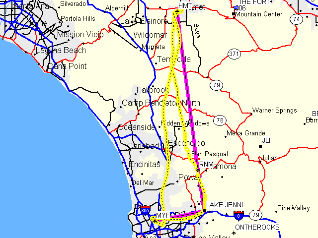
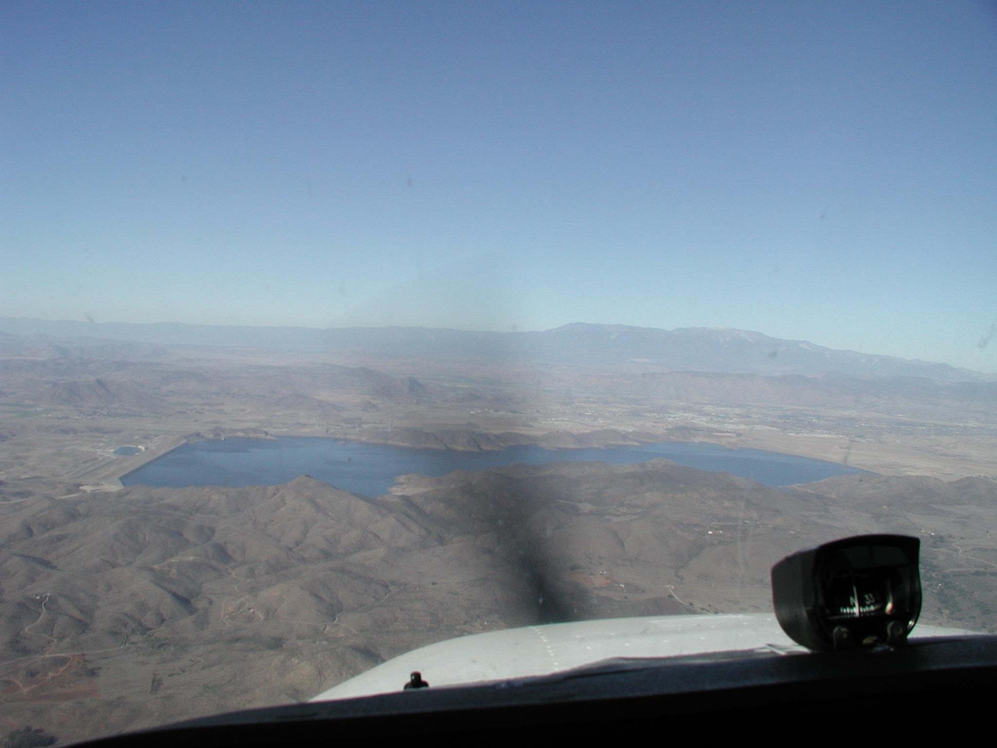
After takeoff, I began to fly the heading given to me by DUATS. But, I was worried that I might be heading into Miramar's airspace, so I turned to the south and started to reference the route I had programmed into the GPS. Around this time, I noticed that visibility was great! I had expected it to be since there were reports of visibility up to 40 miles around the county. So, I took a picture to the south:
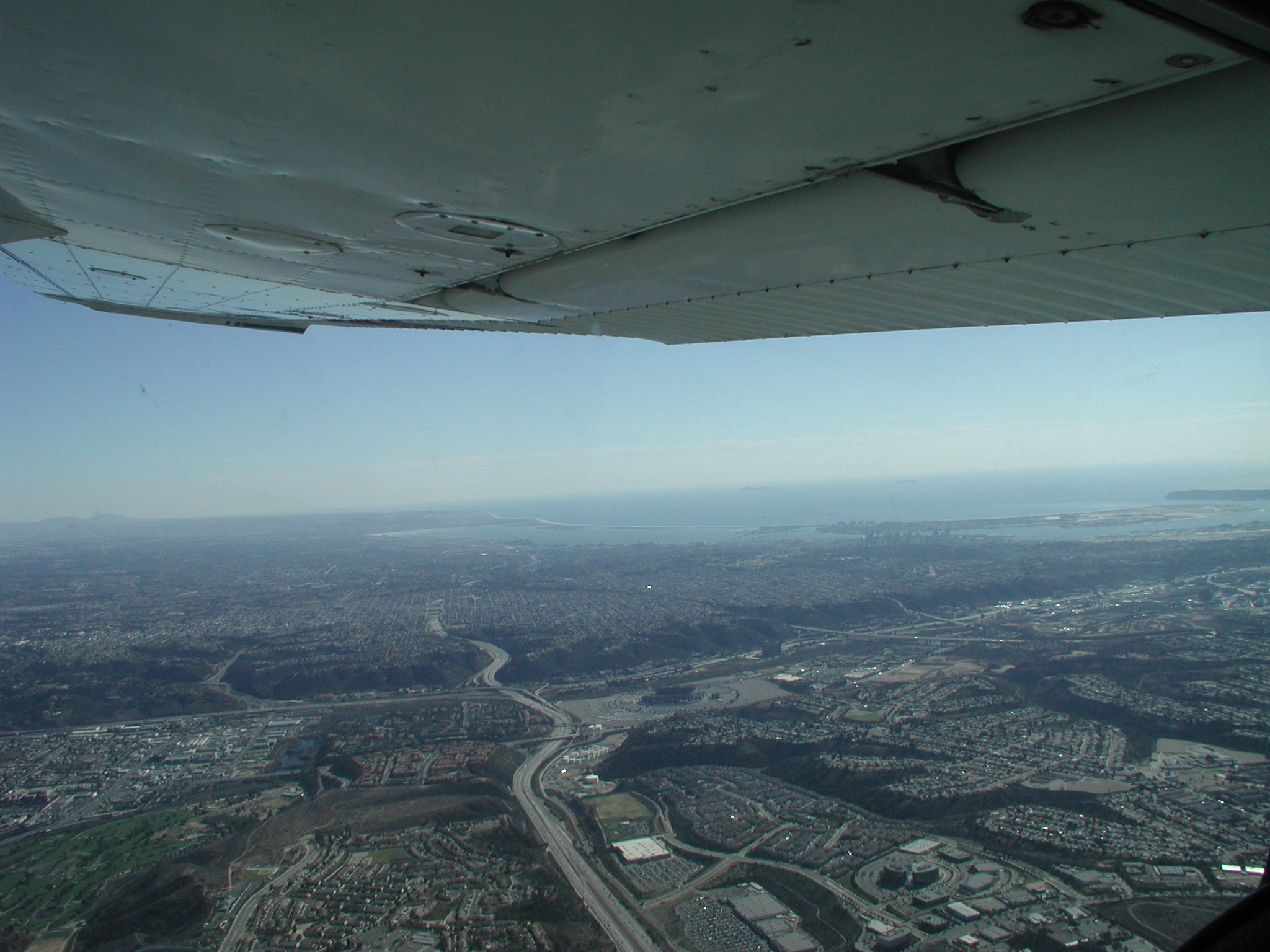
And to the north:
Unfortunately, I again had no passengers, so I was limited in my picture taking ability to those times when the plane was in straight and level flight and properly trimmed.
Once I got to Hemet, I called for flight following. I did not do a very good job at all of following the flight plan produced by DUATS. I was too busy using pilotage to keep track of where I was while keeping track of where I needed to go on the GPS. As you can see from the map, I did a pretty poor job of following my planned route. I believe that the wind kept blowing me to the west while I used the GPS to keep turning towards my destination. I probably would have done much better at following my planned route had I concentrated on maintaining my planned heading. This is important to know when I fly places that are closer to the range of the plane.
On my way up, I identified the Palomar Observatory for the first time. Unfortunately, the camera focused a little closer on the foreground, so the picture isn't great:
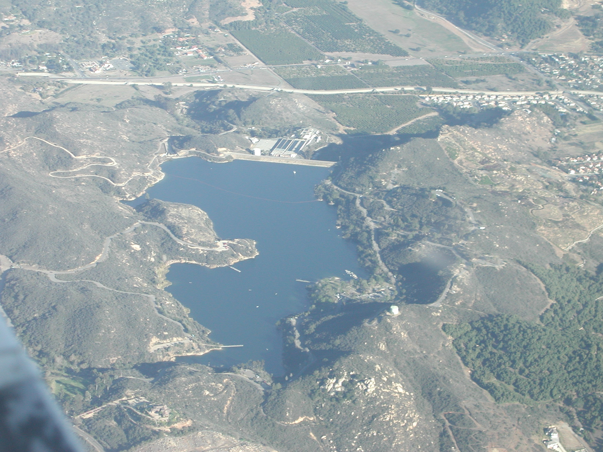
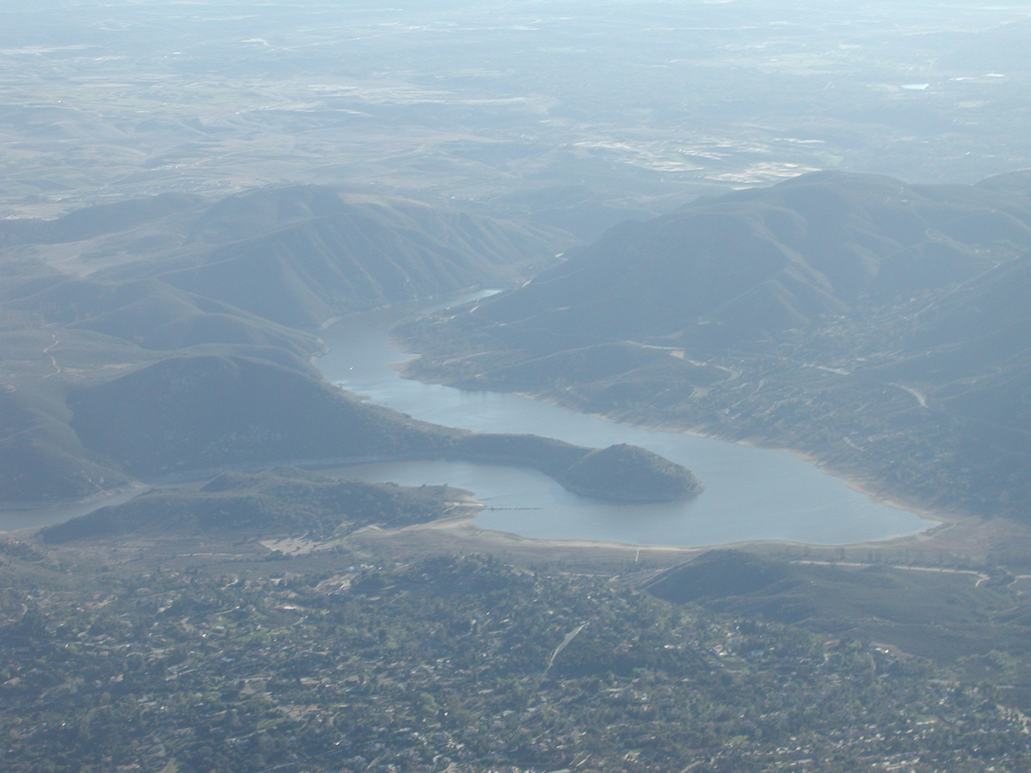
I knew I was getting close to Hemet when I Diamond Valley Lake finally came into view ahead of me:
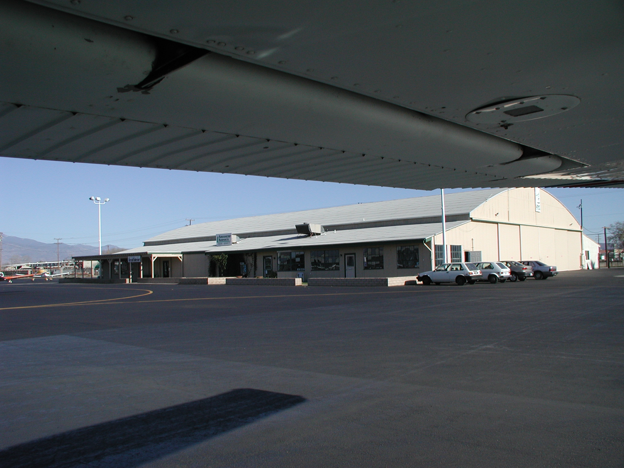
One minor problem I had was that I forgot to write down frequencies for Hemet. Fortunately, I had my Airport/Facilities Directory with me, so I looked up the necessary information there. (Later I realized that I could have just looked on the sectional, but the green book worked just as well. :) On the way in, I did make use of both radios to listen to Hemet's ATIS and monitor their CTAF. At first, the airport sounded busy, but I realized there was just a convoy of planes landing and they were out of the way by the time I got there. I landed without incident and taxied over to the FBO:
I found a convenient parking place, secured the plane, then got out to stretch and filed a flight plan for my trip back. It was at this point where I realized that I hadn't actually printed out a DUATS flight plan for my return trip. So, I just guessed about my flight time and estimated the amount of fuel in the plane. I was worried about getting back, but didn't feel like sitting down and plotting a route. I also figured that since I had the GPS, I wouldn't have any problems getting back.
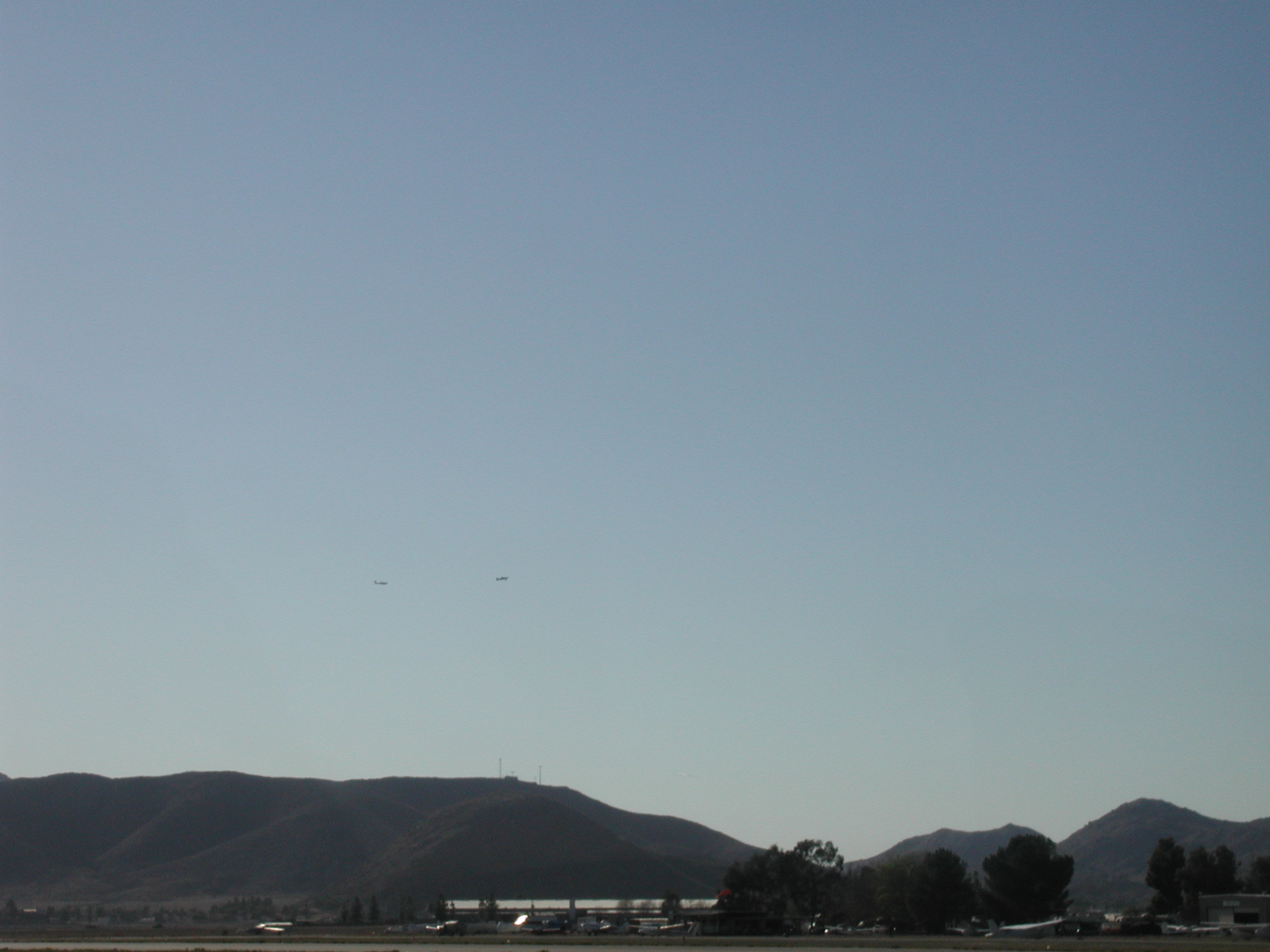
As I waited on the ramp, I noticed some glider tows all around me. Unfortunately, I missed all of the up close shots. I did get some distant shots, but they didn't come out too well:
So, I took off and headed south. Once I gained some altitude and was clear of the airport, I switched to the Riverside FSS frequency given to me by the person I talked to on the phone when I filed my flight plan. I called "Riverside Radio, Cessna 733UC on 122.2" and waited for a response. After 30 seconds or so, I hadn't heard a response, so I called again. Again, I heard nothing so verified that the volume was up and that the radio appeared to be working, then after I had waited a couple of minutes and climbed higher, I called a third time. Still I received no reply, so I gave up on opening my flight plan and instead went to call SoCal for flight following. I first used the frequency I was using on my way into Hemet. I listened for 30 seconds and heard nothing, so I called "SoCal approach, Cessna 733UC with request." After half a minute, I heard no response, so I really started to worry that the radio was dead. I switched to the other radio and tried again. I got no response, but I did hear the controllers talking to other people, so I called a third time. For some reason, I still got no response. Before reaching in my flight back to grab the backup portable radio, I decided to try the SoCal frequency I was using before being switched right before arriving at Hemet. On this frequency, I received a response almost immediately. I'm not sure what my problem was on the other two frequencies, but apparently the radio was working fine.
Within minutes, I got cleared through Miramar's airspace, so I set the GPS to give me a route direct to MYF. I then turned as the GPS suggested (which is clearly visible on the map above). Once I started heading in the right direction, I used my pilotage skills to figure out where I was. I picked out I-15 and knew that would take me right to MYF without getting me too close to Miramar, so I kept an eye on it while I flew back. Then I realized that a DUATS flight plan for my return trip would have stressed me out as it did during my long cross country flight when I was cleared through Miramar without being prepared to deviate from my planned route. I was much more relaxed this time, so I had plenty of time to admire the scenery, practice my pilotage skills, and take pictures:
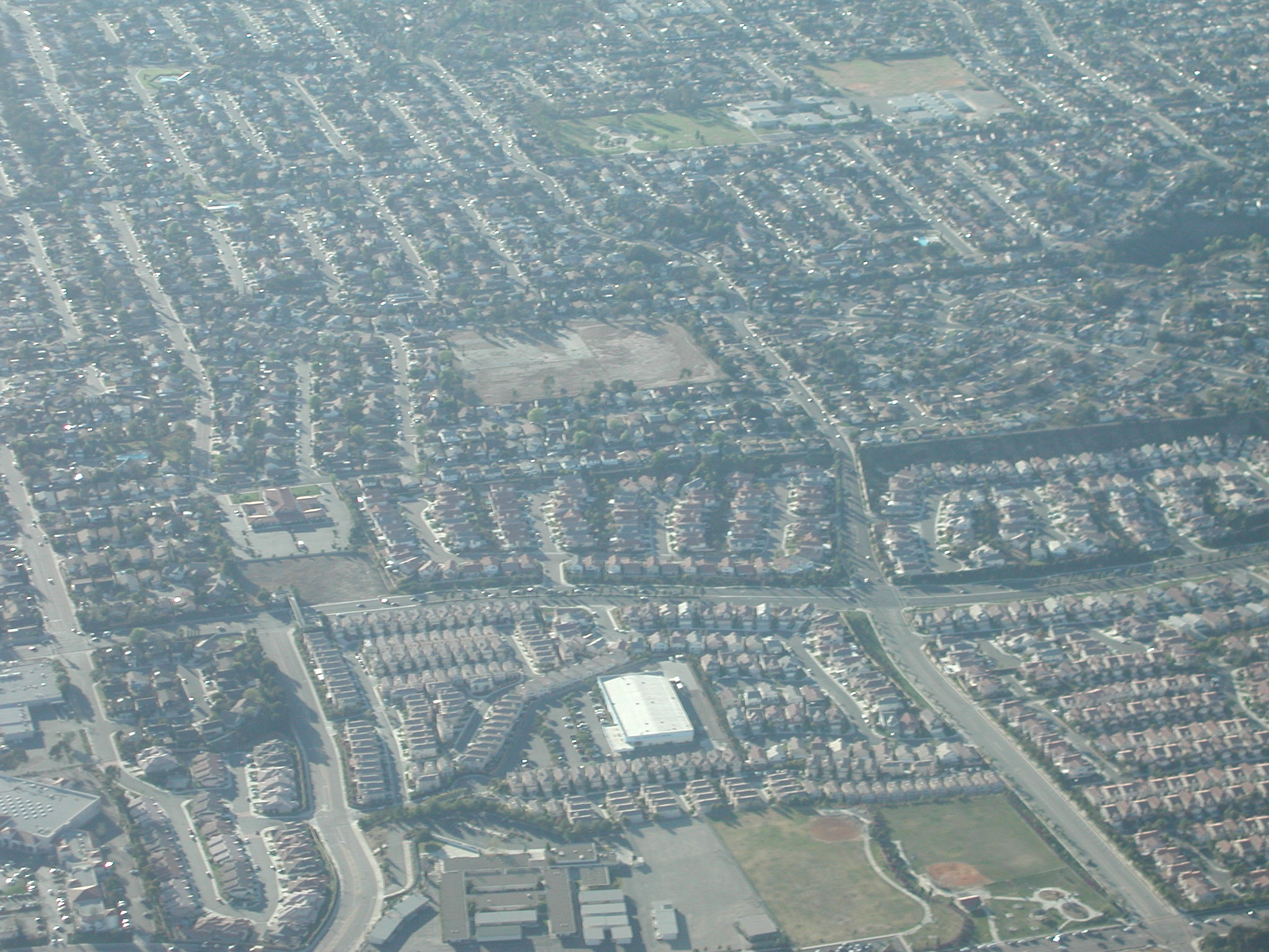
As I got closer, I took advantage of flying this route to take a picture of my house:
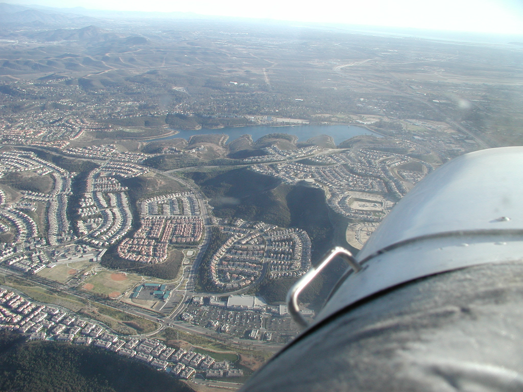
And of Miramar Lake which is just out the other side of the plane from my house:
I also got some really nice pictures of Miramar field, but given that we're currently at war, I don't feel comfortable with posting pictures of a military base. :)
The way in was nice. SoCal handed me off to the MYF tower and they brought me straight in to 28L. I thought they might have me swing out to the lake, but there was no other traffic, so I just got to go straight in.
Lessons learned: